News page

EO4Landscape represented at the IGARSS 2024 conference in Athens, Greece

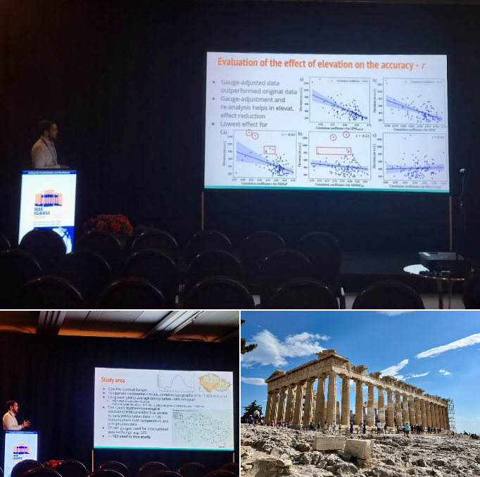
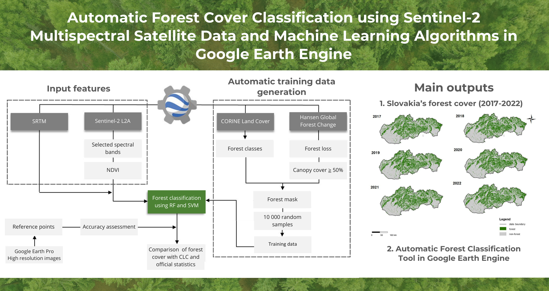
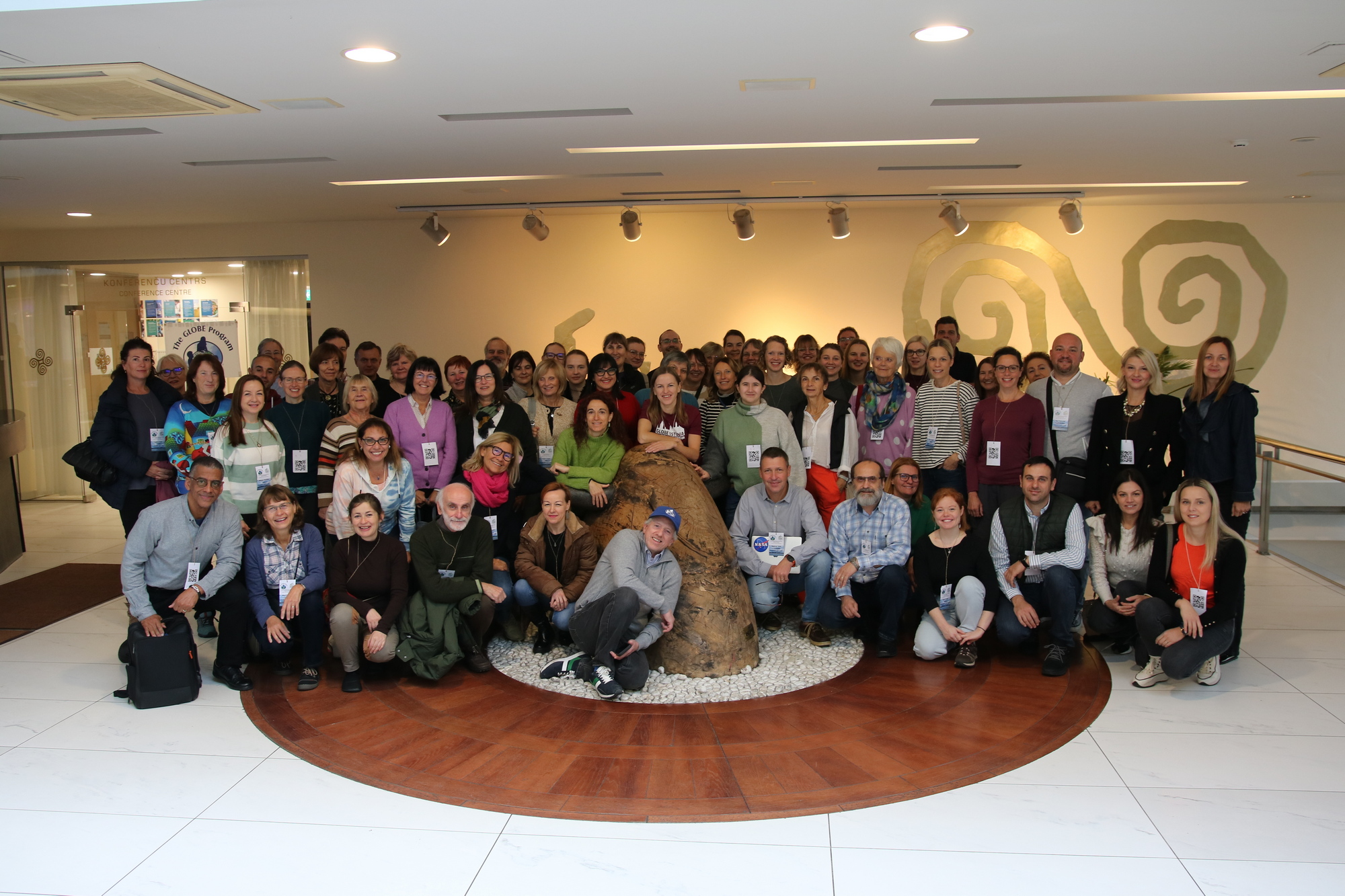
Last week on Tuesday (9.7.2024), our team member, Daniel Paluba, present our newest study at the IEEE Geoscience and Remote Sensing Society (GRSS) IGARSS 2024 conference in Athens, Greece. In this study, we have evaluated 10 (quasi-)global precipitation products available in Google Earth Engine on a daily basis for Czechia using independent in-situ rain gauge […]

EO4Landscape and Copernicus Academy CZ at the 43rd EARSeL Symposium

From 17th to 20th June, our team member Jan Svoboda participated in the 43rd EARSeL Symposium, where he represented us twice! At Manchester Metropolitan University, he first presented our research (in collaboration with Φ-lab, ESA) on using SAM image segmentation to improve CNN classification of Land Cover from Sentinel-2 images according to LULUCF nomenclature. The […]

Summer issue of the Copernicus Academy CZ Newsletter

The summer edition of the Copernicus Academy CZ Newsletter is out! Read it here: https://eo4landscape.natur.cuni.cz/?na=v&nk=2-649e4e4db2&id=9 Topics covered:🌐 Online course “Imaging Spectroscopy for Soil Applications” by EO College🌐 NASA ARSET online course on CO2 measurement using satellite data📅 Invitation to the Czech Space Week in November 2024 from Czech Space Portal📅 Invitation to the Inspirujme se […]

May issue of the Copernicus Academy CZ Newsletter

The May issue of the Czech Copernicus Academy Newsletter has just been published and you can read it here: https://eo4landscape.natur.cuni.cz/?na=v&nk=1-13ec6b32e9&id=8 What you will find in it:📅 Information about the birth of the European digital twin of Earth, Destination Earth🌐 Connecting AI and Remote Sensing👨‍💻 Introduction of JupyterLab for Copernicus data processing🌍 Introduction of the Global […]

Copernicus Academy CZ Newsletter 04/2024

Check out the April issue of the Copernicus Academy Newsletter! What you will find in it:📅 Invitation to our next event we are organizing – Information Day on Digital Earth, to be held in Prague on 13 May 2024🌐 Introduction to the Copernicus Climate Atlas (Copernicus ECMWF)🌍 Introducing EarthMap.org (Open Foris & FAO)📌 What in-situ […]

New article on automatic forest cover classification in GEE

📢 Our latest paper, in collaboration with Katarína Onačillová and Veronika Krištofová from Univerzita ‘Pavla Jozefa Šafárika’ v Košiciach, introduces an automatic forest cover classification pipeline in Google Earth Engine to classify forest layers at country level. 🌳🛰️ We harnessed the power of Sentinel-2 satellite data and machine learning algorithms in Google Earth Engine (GEE) to create countrywide classifications of forests in Slovakia spanning from […]

Daniel Paluba won the third place in the prestigious European Space Agency “Get Space Inspired” competition

Combining a passion for travel with research in remote sensing data analysis – that’s the idea behind the proposed SatPlanner project by our team member, Daniel Paluba, which won a great 3rd place in the European Space Agency’s “Get Space Inspired” competition! The aim of the Get Space Inspired competition was to gather ideas for […]

Don’t be afraid to teach remote sensing in schools!

Remote sensing and climate change were the main topics of a seminar organized within the GLOBE Regional Meeting for Europe and Eurasia (2023.globemeeting.eu). Almost 100 teachers, scientists and GLOBE programme coordinators met in Riga, Latvia, on 18-20 October. The GLOBE (Global Learning and Observations to Benefit the Environment) program is an international science and education […]

First results from our wildfire research

We are happy to share that our recent research on monitoring of the Greek wildfires using Sentinel-1 SAR data, presented at the IEEE Geoscience and Remote Sensing Society (GRSS) conference IGARSS 2023, is finally published. The paper named “Unsupervised Burned Area Mapping in Greece: Investigating the impact of precipitation, pre- and post-processing of Sentinel-1 data in Google […]